Brought to you by Howard Sheckter
Archive for February, 2012
NW Slider Moving To the East Now As Cold Front Slowly Shifts out of Southern Mono County…..MJO Stuck in Early Phase 2 is Not Good News……..
Saturday February 25, 2012
The Northwest slider that has brought cooling and moderate wind to the Mono region has shifted more to the east. Winds as a result have not been as strong as the main gradient has shifted more to the east then south as well. Temps today will reach the low to mid 40s while nighttime lows will be in the teens…. Winds will diminish this afternoon….
The next upstream system is coming in further south as its energy is a bit split off from the main belt of westerlies. This small system moves in Monday and brings us a little snowfall of a few inches (1-4), as it does have some over water trajectory. It is associated with two vort centers and will move out quick Monday night. At the moment, the Dweebs are not buying into the hype. And although the EC is wetter….CRFC and HPC only have a few tenths of an inch. CRFC puts most of the precip down into the MTs of San Diego. The problem with the Central Sierra is that the best Jet dynamics and forcing is to our south. Will take another look at it tomorrow.
The following system for the 29th is definitely stronger. However, the upper jet does not makes its way far enough south to give the Central Sierra a good shot of snow. Neither the front left exit region, nor the rear right entrance region effects Southern Mono County.
Tahoe will definitely do a better than Southern Mono County as it is swiped by the RT rear entrance of the upper jet. Now with this said..we will still gets some light snowfall. 1 to 6 inches…will update later next week……
MJO-PNA
The main concerns now is where the PNA Teleconnection is headed and why the models have been backing off…both on retrogression and amplification to a much larger extent. The Dweebs feel that the problem has been with the MJO. It has been stalled a lot longer in its present position of early Phase Space 2. Currently it is still pretty weak with most of the convection south of the equator….and not in the right location for a strong flip in the PNA to negative as has been forecasted by both the air-sea coupled models nor the Global models. The convective portion of MJO is currently located 65E-70E. The PNA index is pretty much neutral today.
See: http://www.cpc.ncep.noaa.gov/products/precip/CWlink/pna/pna_index.html
CORRELATION OF MJO TO THE PNA
NEGATIVE PNA
20E 70E 80E 100E
.05 .135 .125 .125
POSITIVE PNA
140E 160E 120W
-0.05 -0.1 -0.14
According to the forecasts, the negative phase of the PNA should strengthen as the MJO strengthens and moves beyond 70E. With continued eastward progress the -PNA continues with the MJO’s active phase shifting eventually to the Maritime Continent. The negative phase PNA would promote long wave trofing over the Eastern Pacific. Thereafter, if the MJO eventually shifts eastward, its convective phase would then shift into the western pacific…then toward the dateline. The PNA teleconnection would flip positive again with ridging returning to the Far Western US.
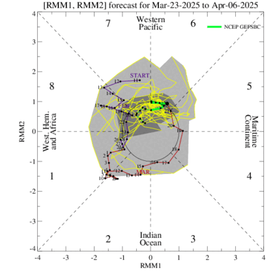
As you can see the MJO is stalled out at the moment. See: http://www.cpc.ncep.noaa.gov/products/precip/CWlink/MJO/CLIVAR/ncpe.shtml
See its position with forecast: http://www.cpc.ncep.noaa.gov/products/precip/CWlink/MJO/ensplume_small.gif
The models continue to forecast it to strengthen and shift east through the Indian Ocean. If the MJO performs as forecasted, odds are we will turn wet. However, the MJO is not performing as the models indicate and if it does not strengthen and shift east as forecasted, we would most likely remain drier then normal.
At this time most convection is south of the equator and fairly weak. More of the convection needs to get north of the EQ and grow in size.
You may watch the progress of active phase of MJO at the following link:
As you can see it is has recently left Africa.
Animation of daily IR and 200-hPa velocity potential anomalies
http://www.cpc.ncep.noaa.gov/products/precip/CWlink/ir_anim_monthly.shtml
The Dweeber……………………..:-)
————————————————-
Reference Glossary of Weather Terms
Disclaimer: I have been a hobbyist meteorologist for over 30 years here in the Mammoth area and I do this for my personal enjoyment. The National Weather Service saves lives every day . . . I do not. When making important planning decisions please use information provided by the National Weather Service as they are the most knowledgeable and accurate information source available today.


