Brought to you by Howard Sheckter
Chilly Trof off the Oregon brings Snow to the Cascades……Central Sierra to remain Breezy…Dry and Mild Through the Weekend…..Warmer Weather Expected The 2nd Half of Next Week…..
Saturday June 23, 2012
Quick Update Monday AM:
Looks like another 24 hours of wind as the upper trof and associated cool pool exit through Oregon Tuesday……Wednesday AM will be the coolest and there may be a quick/light freeze in the most wind protected areas Wednesday AM. Temps will bottom in the low 30s early Wednesday AM.
Please be especially careful of fire today Monday/Ngt as the forest is tinder dry….winds are up and humidity is very low (5% to 15%). Improving conditions will occur by mid week as heights rise and winds subside. Not much chance of lighting anytime soon so that is a good thing…..
Broader picture is now leaning to the “possibility” for further strengthening of the -PDO. Cold water over the eastern pacific would perpetuate troughing longer off the west coast. The effects for Ca Sierra will be more windy-drier periods, thunderstorms may tend to be more high based with the weaker monsoon or at least later Monsoon…..cooler then normal temps along the coastal regions of Calif with lots more June Gloom even well into July. Experimental weeks 1 to 4 shows normal to slightly below normal temps for the Eastern Sierra…more often then not. The anomalous heat will mostly be central and east of the Divide. Again…..the SW Monsoon “maybe” weaker, further east or later then normal…..
Will follow the trend…..
Expect a nice 2nd half of this week with highs back into the upper 70s in Mammoth by Friday. Lighter breezes mid week. 70s will return by Wednesday and continue into the weekend. The next trof will begin to effect the region by about the end of this week.
The Dweeber……………………..:-)
———————————————————————————————————————————————————–
The Chilly Summer Trof centered just west of the Oregon Coast is locked in place for the next few days….The Sat. Water Vapor Loop shows a pronounced wave length between the upper high north of Hawaii and the Mainland. The Continental high is displaced eastward over New Mexico and Texas. Monsoon moisture has advected north over Western Mx and the Sea of Cortez.
Meanwhile, up to 16 inches of new snow is forecasted for Mt Baker, 14 inches Mt Rainier, Washington St and up to 12 inches over Mt Shasta, California. And……It’s Summertime!!! 🙂
The Forecast for Mammoth includes a continuation of Breezy weather today Saturday as the Thermal gradient remains strong between the cold upper low off the OR coast and the heat over Nevada. Cooling will max out today over Mammoth with highs in the low 60s. Lows tonight will be in the 30s. The gradient will not be as strong Sunday and so winds will be lighter. However…..the winds will be back up again Monday and Tuesday as the upper low gets the boot inland early next week. Expect highs to continue in the 60s for Mammoth Through Tuesday. The outlook shows gradually rising heights over our area the second half of next week. Although we will still have a dry southwest flow due to weaker NW troughing off the west coast the 2nd half of the week….500mb height’s will rise into the end of the month. Normal highs this time of the year are in the low 70s. The Dweebs expect highs in the mid to upper 70s by the following weekend and into the 1st half of next week.
Expect Fair weather, slightly above normal temps with afternoon zephyr winds the first few days of July.
What’s happening with EL Nino:
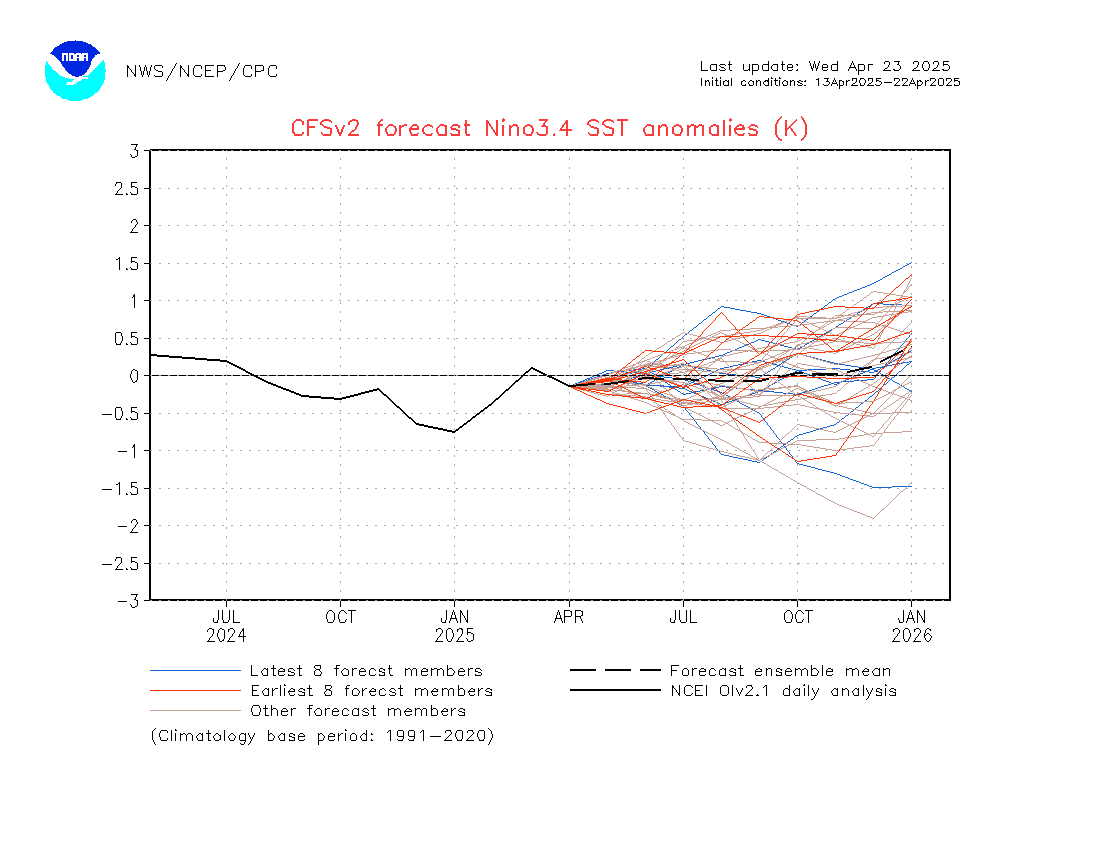
I took a look at the latest CFSV 2 forecast out today
It lends hope that Next Winter may be very different here in the Eastern Sierra compared to last!!!!
It shifts the growing Warm Pool from the extreem eastern pacific ENSO 1+2 to >>> 3 and 3.4 by the Fall of 2012.
Seasonally it continues the WE into early winter!!! (We want +1C or Better for 3 to 5 months)
If this trend continues…..the Bias for a wetter winter would increase for the Sierra……
SEE:
http://origin.cpc.ncep.noaa.gov/products/people/wwang/cfsv2fcst/imagesInd3/nino34Mon.gif
Dr Howard and the Dweebs……………………….:-)
————————————————-
Reference Glossary of Weather Terms
Disclaimer: I have been a hobbyist meteorologist for over 30 years here in the Mammoth area and I do this for my personal enjoyment. The National Weather Service saves lives every day . . . I do not. When making important planning decisions please use information provided by the National Weather Service as they are the most knowledgeable and accurate information source available today.


