Brought to you by Howard Sheckter
Westerlies Flexing Their Muscle now as Fall Nears……Sensibly, Late Summer Weather is just that as AZ Monsoon hangs in there a bit longer then expected…..One last Push of Sub-Tropical Moisture is Expected this Weekend…..Isolated Thunder a Possibility Saturday and Sunday Along With Above Normal Temps…..A Bit Cooler Next Week.
Friday September 7, 2012
September 12th update:
Monsoon moisture finally making an exit SEward this morning. So at last…..an end to the AZ monsoon into NV and Ca seems to be in the cards according to the latest guidance. Upper trof that pushed through the past 24 hours brought about 6 degrees of cooling and a lot dryer air mass. Upper ridging is expected to re-build again into our area and so a warm up back into the mid 70s is expected over the next few days… Beautiful weather is expected through weeks end. Lows now in some areas down into the 30s and some color beginning to show up in the higher elevations.
No significant weather expected over the next 7 days…however, strong amplification is expect to begin the middle of next week due to some western pacific typhoon action. (TS-SANBA) The MJO is moving into the Western Pacific which favors both enhanced tropical storm activity over the western pac and often times meridional flow (North-South) down stream over the eastern pacific. So both amplification and retrogression are expected just prior to and including the first day of Fall. The pattern may set up with a strong upper height anomaly over the northern G of AK and a REX block with the corresponding upper low off the northern Ca coast bringing clouds and cooler temps, or there is the possibly of an inside slider bringing more winds and much cooler temps the following weekend……we will see!!! Stay tuned……………………..
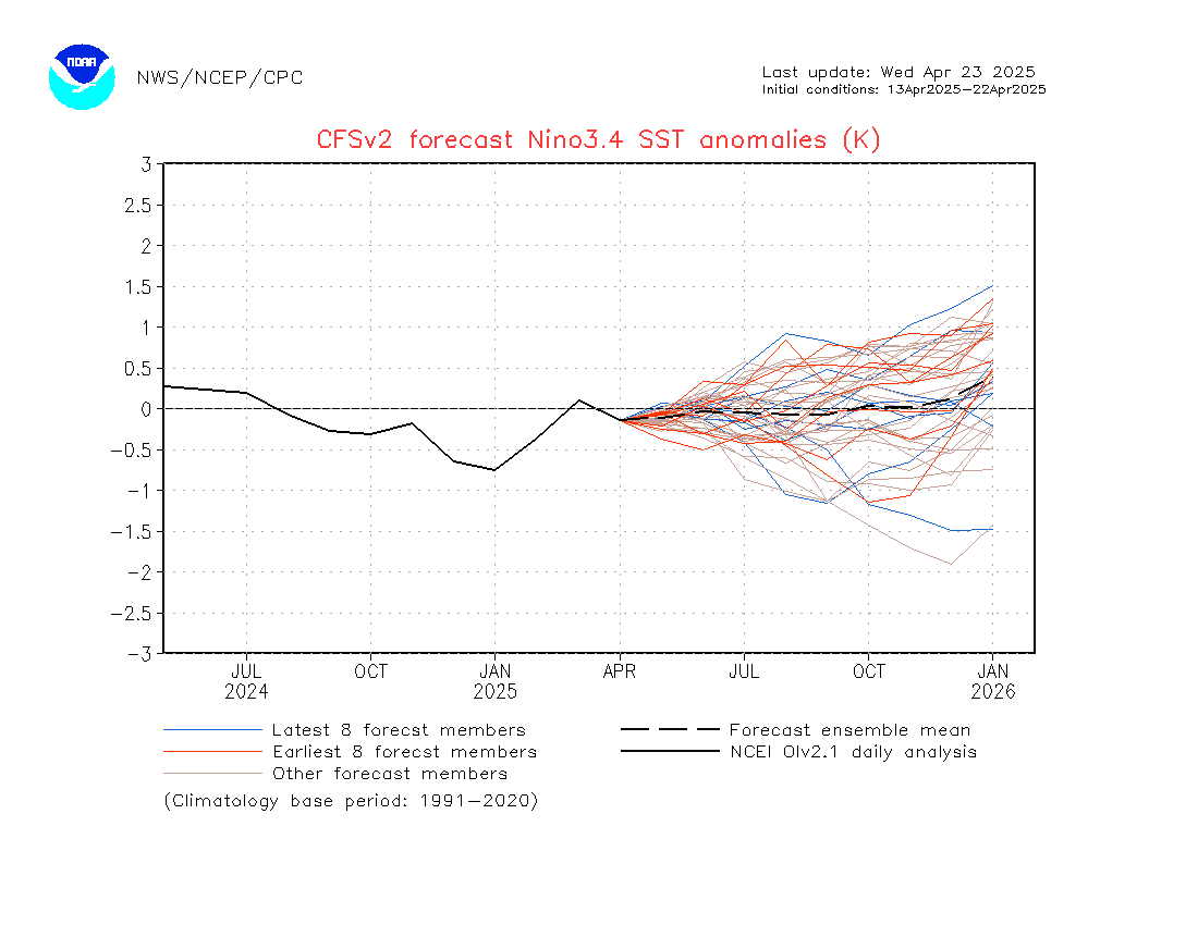
ENSO UPDATE: Latest CFSv2 is showing increasing strength in the EL Nino expected to develop this Fall…..
See: http://origin.cpc.ncep.noaa.gov/products/people/wwang/cfsv2fcst/imagesInd3/nino34Mon.gif
It is back to Weak-Moderate vs Weak……. This increases the chances for wetter conditions this Winter in California.
Dr Howard and the Dweebs……………………………:-)
______________________________________________________________________________________________
Yes!…..The Westerlies are Flexing Their Muscles now as Fall Nears……However, another and possibly last push of Seasonal Wind is in the cards for this weekend as this mornings NAM model at 700mb/RH showed both upper high along the NV/UT boarder working in tandem with an off-shore closed low that sets up the monsoon for a few days and the return of TSRWs for the high country. By Late Sunday…the upper closed low opens into a trof as it gets picked up by the westerlies…which results in the return of a SW flow and regional drying. It looks dry and a bit cooler Monday through Thursday next week.
Will the Seasonal Wind return for an encore? Hard to say….it has already lasted much later than the Dweebs had thought….so this weekend may-be it!
What to expect the next few weeks….
The Dweebs do not see anything that resembles winter at this time. At 500mb…….Heights remain for the most part between 582DM and 588DM. That is usually warm and mostly dry for the high country. Upper 60s to mid 70s. The Dweebs are seeing the usual signs for this time of the year. The strengthening of the westerlies through Canada and the faster movement of short waves within the same.
The climo for this time of the year suggests debris from dying tropical storms which moisture from such can get entrained in the upper flow with trajectory’s into California. The early fall pattern of cut off lows……IE/upper jets that get cut off from the main belt of westerlies and sit off the west coast can entrain any moisture that may lurk to our SW to SE. With as active as the Monsoon has been this past August and early September to date, it would not surprise the Dweebs to see some more of that. Although the angle of the Sun is not as conducive to convection as it was a month ago. However, Cut Off lows can be stronger with stronger upper divergence for precipitation.
The GFS last night showed another cut off that may form about the 18th. Depending upon how and where it sets up, there may be some chance of RW in the forecast at that time. Incidentally the CFS v2 shows a blocking upper high over BC and lower then normal heights, well off the central coast. So there is some support for some S or SE flow at this time continuing into the Southern half of Ca later this month.
The CFS v2 shows the weakness off shore kicking into Ca the first full week of Fall bringing possibly below normal temps for a while. Maybe some showers when it moves in. The last few days of September into Early October look dry as a positive tilt upper ridge in the mean is anchored off the Pacific northwest coast then extending NE toward Central Canada while 500mb heights are below normal at about 50N south of the Aleutians. It is hard to get excited about anything from that pattern other than a dry NE flow and cooler than normal temps. That pattern may set up Southern Ca with off shore flow/Santana Wind. Well see……..>>>>>>>
————————————————-
Reference Glossary of Weather Terms
Disclaimer: I have been a hobbyist meteorologist for over 30 years here in the Mammoth area and I do this for my personal enjoyment. The National Weather Service saves lives every day . . . I do not. When making important planning decisions please use information provided by the National Weather Service as they are the most knowledgeable and accurate information source available today.


