Brought to you by Howard Sheckter
Howard’s Favorite Forecasting and Data Resources
| Mammoth Weather Discussion |
|---|
| Howard’s most recent weather discussion Weather Glossary AR Atmospheric River |
| Conditions Forecast |
|---|
| Mono County (Mammoth Lakes) forecast |
| Alternate Mono County (Mammoth Lakes) forecast link |
| EDISION Public Safty Power Shut Off |
| Temperature Forecast |
|---|
| for Mammoth |
| for Bishop |
| California State Information from IWIN |
|---|
| Weather Ready Nation |
| Highway Conditions |
|---|
| California Mountain Highway Conditions |
| Caltrans Hwy 395 Conditions |
| REgional Temperature/Precipitation Summaries |
|---|
| Eastern Sierra region |
| Owens Valley, east, and south |
| West Side Sierra Nevada, Central Valley, Mojave Desert |
| Southern California Region |
| Current Radar and Satellite Analysis | |
|---|---|
| San Francisco radar | |
| Los Angeles radar | |
| Northern CA, Central CA NV Radar | |
| Reno Doppler Long Range Loop | |
| Long Range Composite Reflectivity | |
| Weather Satellite Imagery | loop |
| GOES-West PACUS GeoColor | |
| GOES-WEST Full Disk | |
| GOES-WEST Tropical Pacific | |
| GOES-WEST (WEST-COAST) | 16km IR animation |
| GOES-WEST (FULL DISK IR) | 16km WV animation |
| Goes West CA/NV Loop | Goes West Central Pac Anim |
| Goes North Pac | Tropical East Pac-Wide |
| RE-ANALYSIS UPPER AIR |
|---|
| Plymouth State WX Center Re-Analysis Sat Picts |
| NOAA NCEP Re-Analysis |
| Daily Mean Composites |
| UPPER AIR SOUNDINGS |
|---|
| Edwards AFB |
| Desert Rock |
| Reno REV |
| Oak |
| VBG |
| PACIFIC SST |
|---|
| Current Loop |
| Baja Fishing SSTs |
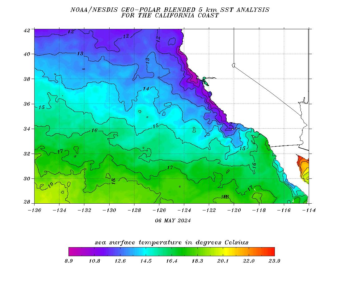
| California SSTs |
| Regional Zone Forecasts |
|---|
| Mono County Forecast |
| Tonopah Forecast |
| Owens Valley Forecast |
| Death Valley Forecast |
| Regional Weather Observations and Webcams |
|---|
| Mono Lake Live Weather |
| Regional Airport Surface Observations |
|---|
| Bishop Airport Bishop Climo |
| Mammoth Airport |
| Tonopah Airport |
| Space Weather |
|---|
| Space Weather Now |
| Spaceweather.com |
| Long Valley Caldera |
|---|
| Link to activity CA New Activity Map-LVC Global Seismic Monitoring |
| Deformation Network New Activity Update Recent CA Earthquakes |
| Misc I |
|---|
| Climate Change |
| Mammoth Climo (South Shore Tahoe used as Algorythm) |
| CFC Weeks 1 Through 4 |
| AR Tools https://cw3e.ucsd.edu/iwv-and-ivt-forecasts/ |
| Tropical Tidbits |
| Weatherbell |
| SPC Mesoscale Analysis Pages |
| Misc II |
|---|
| U of Utah – Time height Theta E |
| U of A Weather Graphics and Loops |
| Pine Flat Dam Snow-Level Image |
| TP 1 |


