Brought to you by Howard Sheckter
Archive for November, 2012
Mild Weather With Above Normal Temps to Continue a Few More Days before Subtropical Jet Exerts its Influence upon Mono County…..Wet Weather Ahead with more Base Building Precipitation Expected for Elevations Mainly above 9,000 ft Beginning Wednesday….
Monday November 26, 2012
5:40pm Monday Update:
Confidence increasing for a long duration….high impact precipitation event for the northern and central sierra beginning Wednesday…..
18z GFS is less retrogressive now over the next 6 to 10 days……Stay tuned, we may get some cold air in here yet!!!!
Updates at anytime…..
Pattern changes are underway as more wet and wild weather will return for the high country the 2nd half of this week. We are now experiencing a weather type more like those back in the early 1980s where by a lot of Subtropical moisture will be entrained into Trofs. However at the moment…..most dynamics are to the north of Mammoth. In the developing weather type, the long wave is both too far west and too far north with retrogression in the cards next week. With the Mother Low Centered about 140west, the upper jet will move on shore over Northern Ca. Before it does, there will be coupling with the Subtropical Jet from time to time for enhancement off-shore. We here in Mammoth will have to rely a great deal upon the strong onshore flow as well as the natural orographics as a lifting mechanism. There will be plenty of moisture in the clouds but little in the way of upper divergence until a secondary system comes through at the end of the up coming cycle Saturday night into Sunday. QPF from CRFC has a pretty good bulls-eye over the northern part of the Southern Sierra for a 6 hour period Thursday afternoon. With the amount of heat released through the conversion process, it suggests snow levels rising up to at least 9K for a time. However, the Dweebs will have to take a good look at the OAK sounding 12z Thursday to see where the 0C line is at saturation and if the saturation is deep enough down to the surface at 7K or 8K for an extended snowfall to the surface. (A case for micro physical processes)
All in all at elevations above McCoy Station, there could be between 3 & 4 feet by Sunday night, taking in considerations for orographics. Questions now arise about what happens beyond next weekend…..
Thoughts:
The warmer waters off the Pacific Coast may be assisting in more ridging over the far west. Blocking from the Dateline north across the North Pole in the Means indicate the Arctic Oscillation is definitely screaming -AO!!!!!.. So why is the far west not stormier with the upper jet coming into Southern Ca? Because too much emphasis is put on the -AO and how all of the WX geeks just wanted the AO to go negative. Well its Negative. Are we waist deep in Snow? No…. Is the east coast waist deep in Snow? No! Teleconnections are useful, but they must couple properly with other teleconnections if they are going to be used as biases for predicting climate in various areas of the World. Yes the -AO is definitely plunging cold air into areas like Europe and the G of AK. But that happened with the Positive phase of the AO last year. So you can get the same results for a different sign!
Odds are as we go toward the middle of December, we will see an increase in the strength of the -NAO. The North Atlantic Oscillation. That will most likely bring Arctic cold to the Mid west and east next month. When both AO and NAO are strongly negative, you can count on the linnier relationship of cold in the east and warmth in the west with confidence. Of course, the PNA will respond strongly positive, especially if the west has warmer then normal SSTAs along the west coast as a support to the teleconnection. I see this in the future probably in later in Dec or January. Our classic Jan thaw while the east freezes!
The Global Wind Oscillation:
Now watch what is happening with the GWO. (Global Wind Oscillation) another interesting issue is that AIM has been on the increase now for the past several weeks. Phase 7-8 (El-Nino like) – the global relative AAM anomaly is positive. Westerly wind anomalies move into the Eastern Hemisphere, broaden in latitudinal extent and link up with deep westerly flow anomalies over the mid-latitude Western Hemisphere. An extended Pacific Ocean jet stream and southward shifted storm track is observed, favoring high impact weather events along the USA west coast. Central Ca to Pacific North west. This is now taking place in California!
Next move: Phase I
Phase 1 – the global relative AAM tendency is negative. Positive (westerly) AAM anomalies are being removed by surface friction in the Western Hemisphere mid-latitudes and through mountain torques across the Northern Hemisphere topography. The next phase of the oscillation (if it continues) is represented by easterly wind anomalies intensifying over equatorial regions of the Western Hemisphere. This phase has enhanced subtropical jets and closed lows in the subtropics favoring rainfall events over the southwestern USA. Possibly during the 2nd week of Dec for Ca.
SEE: http://www.esrl.noaa.gov/psd/map/images/gcm/gwo_40d.gif
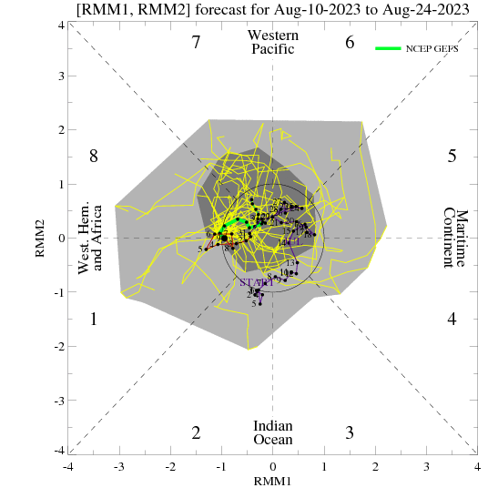
Now see where the MJO goes over the next few weeks. (Phase 1) http://www.cpc.ncep.noaa.gov/products/precip/CWlink/MJO/CLIVAR/NCPE_phase_21m_small.gif
The Dweeber………………………………:-)


