Archive for September, 2013

Flat Ridge to Build over the high country for the next 6 to 10 days……Seasonal temperatures and dry weather expected…Further outlook looks dry….Well into October…..El Nino beat grows louder today…….

Sunday Am update:

No changes this morning……Short, medium and long range all look dry….

Temperatures look seasonal with highs mostly in the low to mid 60s and lows in the 30s and 40s.

Today weather is being effected by the big storm in the pacific northwest. The front Rt exit region of the upper jet is providing lots of wind for the high country of Eastern Ca along with high clouds.  Otherwise not much going on.

The only chance of a change in the next few weeks would occur if a western typhoon constructively phases with the westerly’s coming off Asia. The typhoon that effected the current storm to the north, destructively phased and thus the flow zonaled out.  The Dweebs will be watching the western pacific with interest as there are several of these tropical systems wanting to recurve to the north. If the timing becomes right with their recurring, we could see a storm in October similar to what we had around the equinox, however stronger as it is later in the year.

Next update Tuesday:


Dr.  Howard and the Dweebs…………………………………………..:-)


Although there is quite the Atmospheric River, “AR” set up for the pacific Northwest in the coming days…..the high country around Mammoth will only experience dry weather, however breezy at times through the middle of next week. The earlier high temperature forecast for 70F the early part of next week looks a bit over done now from this mornings perspective, however our weather will hold seasonal temperature wise into next week with just some high clouds.

The powerful storm with typhoon moisture is heading for Washington State and Oregon this weekend.  Remnants of western pacific typhoon Pabuk are rapidly spreading from northern Japan and Kamchatka across the Bering Sea, Aleutians and over the Gulf of AK today. Although most likely we will not see any rain from this system….we will get some high clouds along with periods of wind. Temperatures should not be effected much until next Thursday when about 10 degree of cooling could be expected.

Eventually the upper pattern gets stretched southward into California in the form of a stretched out splitting trof that brings some showers as far south as Tahoe with windy or breezy weather and some cooling to Mammoth next Thursday.  I think that Wednesday night or Thursday would be the best chance of any showers down here if we were to get some. I’d put the odds at 10% or 15%.  Thereafter…… 500mb heights increase again for even warmer weekend following in the 8 to 14 day period.

EL Nino:

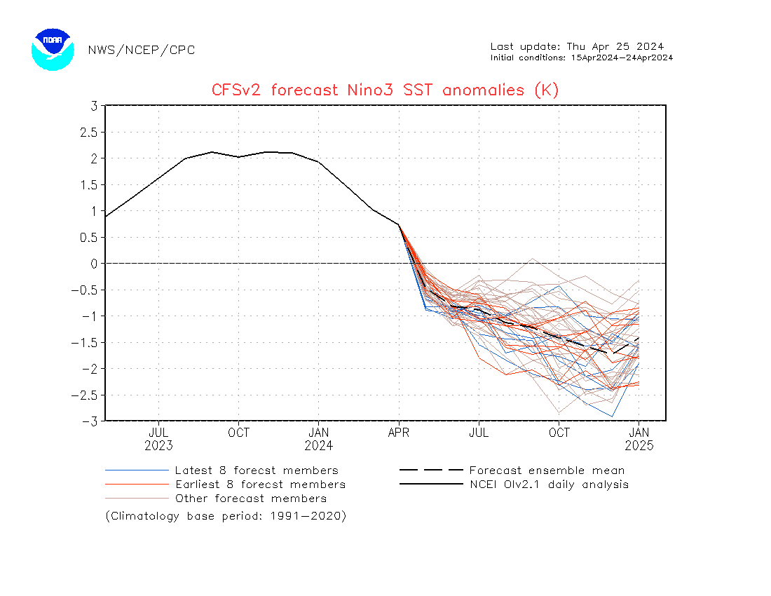
The CFS V2 guidance has the tempo picking up for El Nino this winter. It has it looking both stronger, possibly in the moderate range and arriving sooner…….

SEE: http://origin.cpc.ncep.noaa.gov/products/people/wwang/cfsv2fcst/imagesInd3/nino3Mon.gif


Dr Howard and the Dweebs……………………..:-)

Welcome to the first full day of fall in the Eastern Sierra…..Jack Frost Returns!!!! Temperatures seasonal today…….However, upper trof will push cold front through Mammoth Tuesday evening followed by snow showers Wednesday into Thursday……ALL GLOBAL MODELS IN SYNC FOR BEAUTIFUL FALL FOLLOWING WEEKEND WITH SEASONAL TEMPS…..

Slower improvement today then yesterday run….Some upslope this evening noted as well from the 12z NAM surface progs to 700mb. Few flurries possible if there is any moisture left.  Warming trend with Sunny skies Friday into early next week.  500-1000mb thicknesses were south of 546DM this morning so temps may be a little slow to recover.  Expect highs in the very low 40s today.  Lows in the 20s tonight. Temps are expected to pop to the upper 60s by weeks end and possibly 70 by Monday or Tuesday.  Longer range shows a series of storms with the upper jet well north into the pacific northwest. Precip from those may get as far south as Tahoe.  However, don’t feel left out. 500mb Heights will remain well north of 570DM so freezing levels will most likely be above 10K.  Well down the road into early October. There is always the chance that one of those Trofs may split with some energy coming into our high country. But it will be running into a pretty good high pressure block if it does……


Last of the September California Troughs is on the way. Winds will highlight the weather this afternoon and night along with much cooler temps Wednesday and Thursday. The 00Z Tuesday ECMWF had about .15 of QPF in our area over the crest or about an inch or two of snowfall there. In town just a scant expected between Wednesday at 5:00pm to Thursday at 5:00pm when the secondary upper jet makes a run for Eastern CA out of the NNW.  Certainly nothing to write home about. Again wind and cooling is the prind point with daytime highs Wednesday and Thursday in the mid to upper 40s. Lows in the 20s with snow showers mainly Wednesday night and Thursday.


Outlook:

A ridge of high pressure will build into Ca Friday into Saturday shunting the next short wave to the north. However….Daytime highs may have to wait until Monday to reach 70 degrees again.  Thereafter, the larger scale long wave upper low in the Gulf of AK will retrograde more to the west, then anchor to the north of the Hawaiian Islands later next week. Because of the wavelength, this brings Indian Summer to the high country the weekend of October 5th.  Thereafter…The Climate Forecast System keeps above normal temps for California through a good part of October.

Maybe we can talk to the authorities and convince them to keep the Golf Courses open longer in October!  🙂

Interseasonal Dweeb Thoughts:

Wednesday AM Update:

Cool Pool North of Hawaii Growing while Warm +SSTA remain over the far Eastern Pacific

Odds increasing for a long warm fall for California and below normal precipitation into November……

This should not be a reflection on the Winter and Spring though, as with an El Nino, we can end up well above normal….

As a side note….this could be one rip roaring fire season for Southern Ca later in October

Long range CFS still has wet December……


——————————————————————————————————————————————————————————————————————–

From Tuesday

There is a significant positive SSTA pool that has been moving slowly eastward and is now off the entire west coast except the immediately coast from the Bay Area South.     SEE: http://weather.unisys.com/surface/sst_anom.gif

As the North American continent looses heat, the location of that warm pool may play a part in keeping a long wave ridge parked over the far west this Fall… Keep an eye on this pool to see how it develops or diminishes. Also a coupling cool pool is NNW of Hawaii (Troughing). This may couple with the warm pool to set up an Omega Block for the fall. Note, this is just something to watch not a forecast for a late Fall. Lots of other forces at work like the MJO which if strong enough can dominate.  Other forces include the westerly phase QBO (less high latitude blocking) however, a weak Solar Max may increase the odds for high latitude blocking. One thing we do not want over the far west is a strong cold pool north of Hawaii, Warm Water in the far eastern pacific and high latitude blocking in NAO region.  That spells strong + PNA and ridge city over the west.


Remember..it is still September and lots of time for the right combination of things to come together for a good winter out west…..


The Dweeber………………………………..:-)


————————————————————————————————————————————————————————————————————————————————————

A snow capped Mammoth Mountain is a beautiful sight for the first full day of fall. Early morning risers this morning experienced frost on many roofs in town. Early AM temperatures dropped between 25 and 32 around town. High pressure aloft will bring a warmer day today. High temps today will be in the upper 60s which is seasonal for this time of the year.  Temperature inversions will set up over night tonight and overnight temps warmer at elevations above 8000, possibly above freezing while lows below 8K at or slightly freezing.

The last in the series of Trofs will move into the high country Tuesday, bringing gusty winds, cooler temps and snow showers. Unlike the last storm, the significant precipitation with this system will be mainly over Northern CA Tuesday PM with the main upper jet remaining cyclonically curved with its axis remaining over Sacramento. Mammoth Lakes will be in the Front Rt exit portion of the upper jet which is really the wind corridor for this storm for us. As the upper trof progresses through Ca, there is a secondary jet that drops south through Eastern California Wednesday afternoon into Thursday AM.  This occurs behind a dry front that comes through Tuesday evening. This mornings 12z NAM has a developing Vt center over Sacramento that drops SSE through Eastern Ca including Mammoth Lakes by Wednesday night. Although there is little moisture left at this point, there is likely enough for some snow showers over Mono County, especially along the Sierra where there is topographical lift.  So the prind point is that in a NW slider…..with the main upper jet remaining to our north, the front when it comes through is usually dry, however often times a subsequent upper jet upstream will dig the bottom part of the trof south enough so that Mono County will get some snow showers behind the front with light accumulations if any.

Wind and cooling will highlight this weather system.  High temps Wednesday and Thursday will be in the 40s while nighttime lows expected in the 20s Thursday AM and Friday AM.  The weekend looks fair and warmer under building high pressure aloft. Seasonal temps are expected this weekend with highs in the upper 60s. Now that snow covers the higher elevations it will be a bit harder to get up to season temps until a good part of the snow is melted. The Dweebs have noted that snow cover even light amounts can keep daytime highs a bit below Climo when using other stations temps regionally as an algorithm.


Inter-seasonal:

The MJO composites for September for precipitation and temperature in California based upon the MJO in phase space 5 which shows above normal precipitation and below normal temps. This has certainly verified. The statistical dynamic model has the MJO progressing into Phase Space 6 next week which still has a below normal bias for Central Ca. At the same time the bias for above normal precipitation goes down to almost nothing. This also goes for early October. Thus the last week of September may have some cooler then normal periods, the bias for precipitation in the Central Sierra is very low through the end of the month. October beginning in phase 6 then weakly into Phase 7 would be more seasonal weather-wise, with out much if any precipitation. On another note, the Climate Forecast System has above normal temperatures for Eastern Ca by mid October…..

Expect regular updates through the stormy period Tuesday through Thursday….then the Dweebs may take a break for a while beginning next weekend until the next change is on the horizon.


Dr. Howard and the Dweebs……………………….

Upper Trof to push thorugh last day of Summer bringing the Mammoth Crest its 1st Dusting………First Fall Trough Wednesday may be inslide slider with colder air to follow…..Gusty north winds for the Bishop Area…..

Saturday PM Update:

Rainfall amounts exceeded expectations with .61 at 8200 feet.   There is also a good dusting here as well.

The Dweebs believe that there is at least 3 to 6 inches of fresh snowfall over  Mammoth Mt.

The storm is over now with just a few isolated lingering showers….

It will get cold tonight!

Update in the am


Saturday AM Update:

An upper Trof of low pressure and its associated cold front is still expected to dig far enough south to bring UVM to the Mammoth area. There is an area of 70% RH at 700mb that moves through the Mammoth area late this afternoon and into the evening hours. This will bring the best chance for rain showers in town and some light snowfall over elevations generally above 9000 feet. Amounts will range from 1 to 3 inches with the best amounts over or near the sierra crest at elevations above 10,000 feet.   It will be windy today and this evening with the passage of the cold front. Highs today will be in the upper 50s while over night lows will range from 25 to 29 degrees by Sunrise Sunday.


Today is the last full day of Summer…….The Autumn equinox occurs at 1:44pm Sunday….


Dr Howard and the Dweebs…………………:-)


Friday 4:50PM:


The 18Z GFS has come in wetter than this morning.  Updated snowfall amounts would suggest 2 to 4 inches on Mammoth Mt with an inch possible in the Village Saturday evening.


Update in the Morning…………………….>>>>


Friday AM Update:

Global Models are in agreement this morning in digging the upper jet (110 knots) further south across Mono County Saturday instead of Northern Ca. Although the bulk of precip will favor the Northern Sierra from Tahoe Northward…….Mammoth now has the chance of a dusting at elevations above mainly 9000 feet….Saturday PM. Winds will now be stronger Saturday and it will be cooler Saturday with highs in the 50s and early morning lows Sunday morning may get down to the mid 20s. California rivers forecast center paints up to .16 over the Yosemite area by 06z Sunday. the freezing level drops to about 9,000 feet by 06z Sunday. Moderation in temps will occur Monday and Tuesday before an even colder system dives from the NNW into the great basin Wednesday. That system should be drier but colder.


Stay tuned to Mammoth s best weather with updates each morning now…….


Dr. Howard and the Dweebs………………………………………………………:-)

______________________________________________________________________________________________________________________________________________________________________________________________________________________________________________________

Color is coming on quickly across the Eastern Sierra and looks to peak a bit early this year. The peak is usually 2nd week of October. This year…..??  Summer will go out on a cool note with daytime highs in the 50s Saturday and over night temps Saturday night into Sunday AM in the upper 20s possible. Fall arrives this year on Sunday the 22nd at 1:44pm.

The weather the next 24 hours will be tranquil as weak high pressure aloft gives us a pleasant day. The next fall like Trof approaches Friday afternoon and winds will pick up all day. Friday evenings winds will be moderate with gusts SSW to 45 MPH.  It will be quite breezy as the cold front approaches Saturday afternoon. Showers and snow showers in the higher back country a possibly.  At this time no measurable precipitation is expected throughout Southern Mono County.  The highlights for the weekend will be below normal temps with lows possible into the upper 20s early Sunday AM.

Upper pattern remains progressive into early next week with the 1st Fall Trof an inside slider. The models are portraying it with stronger thickness falls over Mono County…..otherwise it will be moisture starved with some light upslope snow showers possible. Will keep an eye out for any accumulation potential. At this time it is unlikely.

For the Owens Valley, this could be your 1st moderate shot of north wind on Wednesday.


Longer Range:

Although the 2nd half of the Month of September looks to be unsettled with cooler than normal temps and the possibility of some showers….as we go from the first week of October through the middle of that month the climate models are chatting about warmer Indian Summer weather ahead.     See:   http://www.cpc.ncep.noaa.gov/products/people/sweaver/cfs_fcst/images1/wk3.wk4_20130918.NAsfcT.gif

See:

As the North American Continent continues to cool off…the pacific ocean begins to play a more important part in our weather as that becomes the heat source. There is anomalous warm water between Hawaii and the West Coast. Between 60N and 20N with the axis about 130W to 135W. Should an upper high set up east of there, the prospects for October would tend to be quite warm and dry most of the month. Therefor the prospects for good snowfall in October are not encouraging……

See:  http://www.cpc.ncep.noaa.gov/products/people/mchen/CFSv2FCST/monthly/images/CFSv2.NaPrec.20130919.201310.gif

Dr Howard and the Dweebs………………………:-)


Dr Howard and the Dweebs………………………………..