Archive for June, 2012

Transition to Summer WX still occurring….Couple More NW Trofs…Then Summer WX Weekend following July 4th……Some Models Hinting at Stronger EL Nino Next Fall/Winter

Friday AM Update:

Transition to Summer WX almost complete.

GFS 5 day means +3,5,8 and (7 day mean) day + 11 shows a growing positive height anomaly in the higher Lat’s west of the dateline that will transit us to a full-on Summer pattern by the end of next week. The ECMWF is similar as well.

As the positive height anomaly builds north at 170E near Kamchatka, Russia, it apparently retrogrades the old trof in the mean off the coast of the pacific northwest westward to about 155W/60N and allows a portion of the continental upper high to retrograde or at least expand westward as well to the Great Basin. This really doesn’t occur until later this upcoming week. This essentially completes the transition to Summer WX over the far west by the end of following weekend…the weekend of the 8th. This spells the end of the remains of the stronger  Spring like Trofs for the Pacific NW that has also intensifyed our local zephyr wind by gradient force circulation aloft.

Although the AZ monsoon has already begun over the desert southwest, some monsoonal flow would then have “the chance” to be directed more into the Great Basin and the Sierra via Southern Ca-and AZ, the week of the 10th-16th as the upper flow becomes more South-Easterly by the end of next week.  Hot weather is likely to precede the moisture next weekend (8th) so expect 100s in the Owens Valley and 80s in Mammoth just prior to or next weekend.

In the meantime…..we still have a few trofs and dry southwest flow to deal with through mid-week. Temps will be (seasonal), in the low to upper 70s at 8000 ft…..with periods of Zephyr (west) winds……15 to 25mph Monday-Tuesday and possibly a bit stronger Thursday.

The without upper trofing next weekend and as heights increase next weekend further west…..there will no gradient wind to intensify the zephier and the thermal trof at the surface will focus more over the sierra crest. Monsoon moisture will move into the eastern sierra that following week.
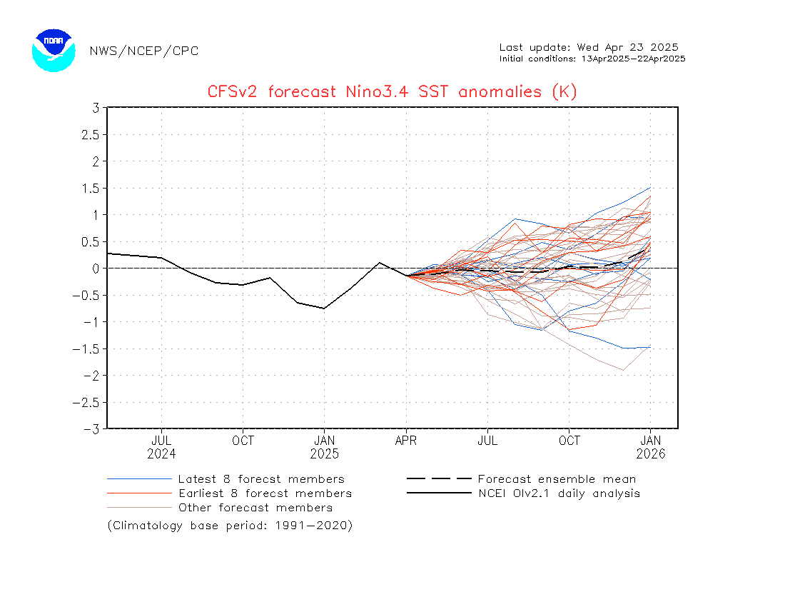
EL NINO:

If you have not seen the latest CFSv2 charts on the developing El Nino, the’re are at the bottom of yesterdays discussion below.

____________________________________________________________________________________________________________________________________________

Here is the Plan…..

The Long Wave Trough in the mean will gradually weaken and is forecast to eventually retrograde over the next 6 to 10 days. This means that we will still have to deal with periods of afternoon wind through early next week. Temps are pretty much seasonal now with highs in Mammoth in the mid 70s. Lows at night in the low 40s. Great sleeping weather. Dry and cool!!!

The WX Maps at 500mb show two trofs that will move through the Pacific NW. One on the 1st and the other the 3rd. No doubt preceding land fall, those systems will kick up extra SW flow and add to the usual gradient wind. So, although each afternoon will be Breezy, there will be extra wind Saturday PM followed by 3 to 4 degrees of cooling Sunday. Overall…..temps will remain in the 70s but low to mid 70s while Saturday night may be extra breezy. The next trough will be about the 3rd. It is weaker and so heights well remain higher. So a boost to both afternoon winds as well as temps.  Expect highs in the mid to upper 70s Tuesday into July 4th. Going into the following weekend, there is suggestion in the day +11 means that a substantial weakening of the G of AK and northwest trof will occur plus retrogression as well. Thus the westerlies will migrate back up into there usual Canadian home north of 50N.

If that occurs we can expect high temps to move into the low 80s with low 100+ heat in the Owens Valley. Additionally and is normally the case….the continental upper high will develop more westward as well, so a little seasonal wind may be in our future, shortly after that weekend as well. (TSRWs)

With all said… the -PDO is still providing cooler then normal SSTs over the Eastern Pacific. The nature of the overlying atmosphere is more comfortable with west coast trofing than not over the chilly waters and it will be interesting to see how that all works out.  By the middle of July, the westerlies are usually well up into Canada……Climo-wise.

On another note, it will be very interesting to see if the upcoming El Nino disrupts or weakens the -PDO. IE (Warms) the current negative phase PDO.

EL Nino Update:

Here is a follow up with the new CFSv2 model. The latest update shows quite the significant EL Nino Brewing.

Check out the links below….for strength, timing.

Then look at the precip Anomaly for California Dec, Jan, Feb.

Latest June 28th, 2012 Update:

http://origin.cpc.ncep.noaa.gov/products/people/wwang/cfsv2fcst/imagesInd3/nino34Mon.gif

http://origin.cpc.ncep.noaa.gov/products/people/wwang/cfsv2fcst/htmls/usPrece3Sea.html


The Dweeber…………………………….:-)


————————————————-
Reference Glossary of Weather Terms
Disclaimer: I have been a hobbyist meteorologist for over 30 years here in the Mammoth area and I do this for my personal enjoyment. The National Weather Service saves lives every day . . . I do not. When making important planning decisions please use information provided by the National Weather Service as they are the most knowledgeable and accurate information source available today.

Chilly Trof off the Oregon brings Snow to the Cascades……Central Sierra to remain Breezy…Dry and Mild Through the Weekend…..Warmer Weather Expected The 2nd Half of Next Week…..

Quick Update Monday AM:

Looks like another 24 hours of wind as the upper trof and associated cool pool exit through Oregon Tuesday……Wednesday AM will be the coolest and there may be a quick/light freeze in the most wind protected areas Wednesday AM. Temps will bottom in the low 30s early Wednesday AM.

Please be especially careful of fire today Monday/Ngt as the forest is tinder dry….winds are up and humidity is very low (5% to 15%).  Improving conditions will occur by mid week as heights rise and winds subside. Not much chance of lighting anytime soon so that is a good thing…..

Broader picture is now leaning to the “possibility” for further strengthening of the -PDO. Cold water over the eastern pacific would perpetuate troughing longer off the west coast. The effects for Ca Sierra will be more windy-drier periods, thunderstorms may tend to be more high based with the weaker monsoon or at least later Monsoon…..cooler then normal temps along the coastal regions of Calif with lots more June Gloom even well into July. Experimental weeks 1 to 4 shows normal to slightly below normal temps for the Eastern Sierra…more often then not.  The anomalous heat will mostly be central and east of the Divide. Again…..the SW Monsoon “maybe” weaker, further east or later then normal…..


Will follow the trend…..


Expect a nice 2nd half of this week with highs back into the upper 70s in Mammoth by Friday. Lighter breezes mid week.  70s will return by Wednesday and continue into the weekend. The next trof will begin to effect the region by about the end of this week.


The Dweeber……………………..:-)


———————————————————————————————————————————————————–

The Chilly Summer Trof centered just west of the Oregon Coast is locked in place for the next few days….The Sat. Water Vapor Loop shows a pronounced wave length between the upper high north of Hawaii and the Mainland. The Continental high is displaced eastward over New Mexico and Texas.  Monsoon moisture has advected north over Western Mx and the Sea of Cortez.

Meanwhile, up to 16 inches of new snow is forecasted for Mt Baker, 14 inches Mt Rainier, Washington St and up to 12 inches over Mt Shasta, California. And……It’s Summertime!!! 🙂

The Forecast for Mammoth includes a continuation of Breezy weather today Saturday as the Thermal gradient remains strong between the cold upper low off the OR coast and the heat over Nevada. Cooling will max out today over Mammoth with highs in the low 60s. Lows tonight will be in the 30s. The gradient will not be as strong Sunday and so winds will be lighter. However…..the winds will be back up again Monday and Tuesday as the upper low gets the boot inland early next week. Expect highs to continue in the 60s for Mammoth Through Tuesday.  The outlook shows gradually rising heights over our area the second half of next week. Although we will still have a dry southwest flow due to weaker NW troughing off the west coast the 2nd half of the week….500mb height’s will rise into the end of the month. Normal highs this time of the year are in the low 70s. The Dweebs expect highs in the mid to upper 70s by the following weekend and into the 1st half of next week.

Expect Fair weather, slightly above normal temps with afternoon zephyr winds the first few days of July.


What’s happening with EL Nino:

I took a look at the latest CFSV 2 forecast out today

It lends hope that Next Winter may be very different here in the Eastern Sierra compared to last!!!!

It shifts the growing Warm Pool from the extreem eastern pacific ENSO 1+2 to >>> 3 and 3.4 by the Fall of 2012.

Seasonally it continues the WE into early winter!!! (We want +1C or Better for 3 to 5 months)

If this trend continues…..the Bias for a wetter winter would increase for the Sierra……

SEE:

http://origin.cpc.ncep.noaa.gov/products/people/wwang/cfsv2fcst/imagesInd3/nino34Mon.gif


Dr Howard and the Dweebs……………………….:-)


————————————————-
Reference Glossary of Weather Terms
Disclaimer: I have been a hobbyist meteorologist for over 30 years here in the Mammoth area and I do this for my personal enjoyment. The National Weather Service saves lives every day . . . I do not. When making important planning decisions please use information provided by the National Weather Service as they are the most knowledgeable and accurate information source available today.

Summer Solstice Arrives Today At 4:09PM….Temps Will Rise To The Occasion……The Mono Zephyr Will Be Back Thursday Afternoon…Then Cooler And Breezy Through Saturday…..

High Pressure aloft has build into California over night making for a warmer day today. As highlighted…the Summer Solstice arrives later this afternoon with tomorrow Thursday the first full day of Summer. However, Mother Nature is not without her irony. Because as the days get shorter during the month of July….Mammoth will enjoy its warmest days of the year!

Were still warming up and cooling down….

So far Spring weather continues as Mammoth is still responding to the weather systems moving into the pacific northwest. Although the seasonal heat that has developed over the deserts to our East and Southeast…..retarding or even blocking the trofs into the northwest, their effect still continues with the cooling they bring along with their winds. The next Trof approaching the northwest is stronger then the one that brought wind and cooling last weekend. SW Winds will begin to come up Thursday afternoon in the form of a zephyr with local gusts to 40MPH by days end. This is primarily due to the Thermal trof jumping east of the Sierra Thursday with local gradient winds effecting our area. No synoptic cooling is expected from that system.  However, as we get into Friday and Saturday, significant synoptic scale cooling with as 10 degrees or possibly a bit more is expected Friday through Saturday. Local winds will be both gradient force and well as the indirect effects of geostrophic flow. Highs in Mammoth will bottom out in the upper 60s to near 70 by Saturday. Lows throughout Mono county will be mostly above freezing in the 30s with a few areas possibly getting down below freezing Sunday AM.

Longer Range:

GFS means Days, 3,5,8 and 11 are suggesting that the trof in the mean near the Pacific NW will weaken next week.  With the Key negative height anomaly over the north central pacific. Although a small adjustment wave still appears to be in the picture near the pacific NW, it is not strong enough to indirectly effect us geostrophically.  At the same time….incipient Monsoon flow appears to want to begin next Monday over southeastern Ca, Southern NV into AZ.  The guidence shows this flow becoming better organized and a bit stronger toward the Holiday as the SW Continential high becomes better organized. IE (AZ Monsoon)

The Dweebs expect mid 70s to return by early next week in Mammoth with warming to the low 80s by the following Saturday then low 80s right into the Fourth of July with diurnal afternoon convection and isolated Thunderstorms and RW possible. All in All it looks like Typical Summer WX!!  Enjoy!!


Dr Howard and the Dweebs………………………:-)


————————————————-
Reference Glossary of Weather Terms
Disclaimer: I have been a hobbyist meteorologist for over 30 years here in the Mammoth area and I do this for my personal enjoyment. The National Weather Service saves lives every day . . . I do not. When making important planning decisions please use information provided by the National Weather Service as they are the most knowledgeable and accurate information source available today.