Brought to you by Howard Sheckter
After a Brief Warm up…Pattern to bring cooler breezy weather into our region Thursday through Saturday….The Possibility of PSPS are once again on the table…..California Heat Wave looming later next week…..
Wednesday October 16, 2019
Wednesday Evening the 16th;
Most of the global models have the MJO in Phase II with some now pushing the Phase III idea. Odds are, it going to get very warm in CA later next week…..Could be critical fire situation for Southern CA…
Overall, its looking like a pretty slow start to the ski season this year. We’ll have to rely on what Mammoth Mt lays down as far as snowfall on the ground for the first half of November….
The Dweeber……….:-)
__________________________________________________________________________________________________________________________________________________________________________________________________________________________________________
It was a nice warm day throughout the region on Tuesday as high temperatures pushed into the mid 60s…. Little change in temperatures is expected for today Wednesday. A pattern change to cooler, breezy weather will arrive Thursday with gusty winds and lower humidly. There is the possibility of a bit stronger winds Saturday afternoon, as more NW upper jet energy works its way closer to the west coast and Northern CA. Although this is not the classic NW wind event for fall, messages are already coming out from SCE about a possible PSPS situation for Thursday. High temperatures will cool some 15 degrees between Wednesday and the weekend.
Longer Range;
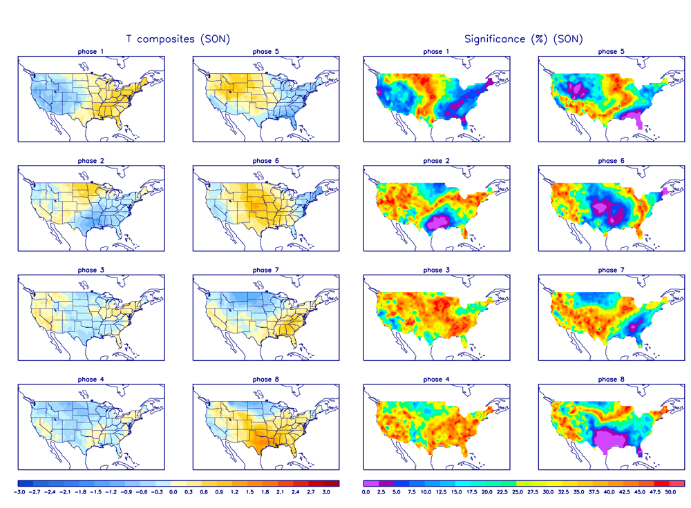
It’s Mid October now and getting close, climo-wise, to the shift from the continental heat source to ocean based. This change in the location of the hemispheric heat source on a large scale, in another few weeks is usually better for both visibility and model verification. (November) IE. We may be better able to see patterns on a longer time scale, emerge in the global models by November. At the moment, the big driver in the Northern Hemi’s weather is the strong IOD event over the Indian Ocean. It is one of the strongest on record. It is responsible for anomalous westerlies over the Indian Ocean and the piling up of warm warm water over the far western Indian Ocean near the Arabian Sea. It is contributing to the static current phase of the MJO in phases I which relates to cooler than normal conditions in the west. The ECMWF shows the possibly of the MJO moving east to phase two. Thus week two weather will be warmer. Phase II of MJO is less cool in the far west as the coolness shifts southeast. The important idea for our region is that with this Positive IOD ongoing, it is quite possible that we will have more dry wind episodes over the next week possibly two, depending upon what the MJO does.
Phase I of MJO in October:
There is only a weak bias for precip for Northern and Central CA in phase I during October. The some Global Models progress the MJO east to phase II during week 2 and so it is possible that warmer weather will be on the way later next week. Thereafter, it weakens into the circle of death. Will it reemerge in phase one again week 3? If it does, that phase in November, has a bias for more significant cold, wind and precipitation for Northern and Central CA.