Brought to you by Howard Sheckter
Mammoth Weather Outlook

Cold Storm to continue snowfall Sunday with moderate to heavy amounts…..Unsettled Weather will hang around through mid week……MJO continues to Crank and is now Modulating the Westerlies……Extension of East Asian Jet now Probable…..1st AR expected about next Friday for the Sierra…..
Sunday March 5, 2023
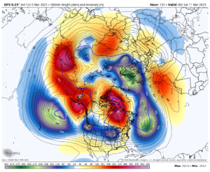
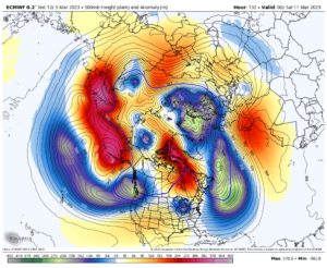
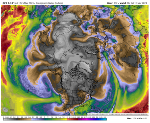
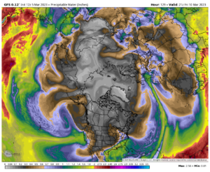
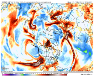
The Dweebs were eagerly awaited the new 12Z run of the GFS this morning to see if there was consensus with the European model that turned bullish on a series of AR’s to Affect CA beginning next weekend. Indeed it has… I will post below. Scripps just sent out an advisory stating that within the next 7 days, a class 3 AR is expected to affect California. Looking at the Models, there are more that following week. The ARs have the possibility of raising the freezing level above 9000 feet at times. There will also be colder parts of each storm. The GFS has over 15 inches of water on their deterministic model run this morning for the west side of the Sierra over the next 2 weeks. Some of that fell today.
Looking at this all, the models have been too fast in extending the EAJ. That may be why they have been out of sync with each other. If one uses the MJO RMM phase space, and the majority of the models have the 7/8 crossing at the same time, its usually within week after the crossing that extension to the WC occurs….Not always before as the earlier solutions suggested. The RMM is a great guide and support for week 2. Creating greater confidence. Its not perfect, but lots of fun to watch!
In the meantime, 2 to 3 feet of fresh snow is expected on Mammoth Mt by Monday storm total…. Monday through Wednesday looks a bit unsettled with the chance of snow showers. Thursday will be pretty Fair. Friday begins a series of new storms in a different milder WX pattern.
Models…
